 English

3D AI DroneTracker rader For Detecting UAV


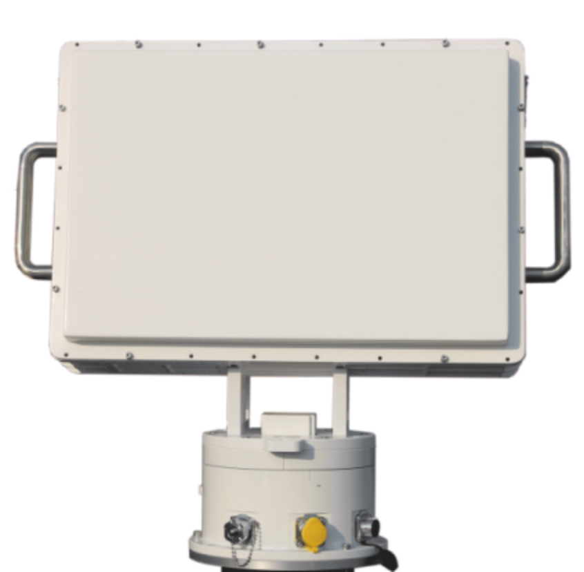
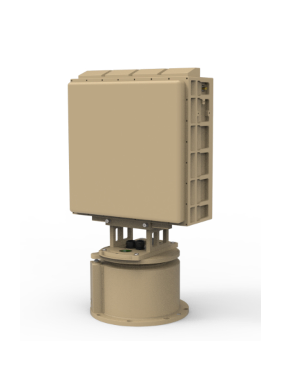
ES - RD03 low Altitude 3D AI Drone Tracker rader
ES-RD03 Ku band low altitude AI DroneTracker with phased array radar, which based on all solid-state, fully coherent, pulse Doppler system, using machine learning technology to achieve clutter suppression in complex scenes. The AI radar can detect and track "low, small and slow" targets all weather and adopts azimuth Sweep scan and Elevation phase scan to realize long distance detection with small targets.
Technical parameters
Performance | Indicators |
Frequency | Ku-band |
Detection | ≥10 km (RCS: 0.01 m²) |
Blind Zone | ≤200m |
Field of View | Azimuth: 0°~360°, Elevation: 0°~30° (Elevation configurable) |
Tracking | With tracking capabilities |
Speed | 1m/s~100m/s |
Scan Mode | Azimuth: Sweep scan, Elevation: phase scan |
Accuracy | Distance: <10m, azimuth: <0.4°, Elevation: <0.4° |
Update Rate | 6s |
Weight | ≤50kg |
Power | AC220V |
Operating Power | ≤1200W |
Size | ≤530mm*650mm*250mm |
Operating Temp | - 40 ℃~+ 55 ℃ |

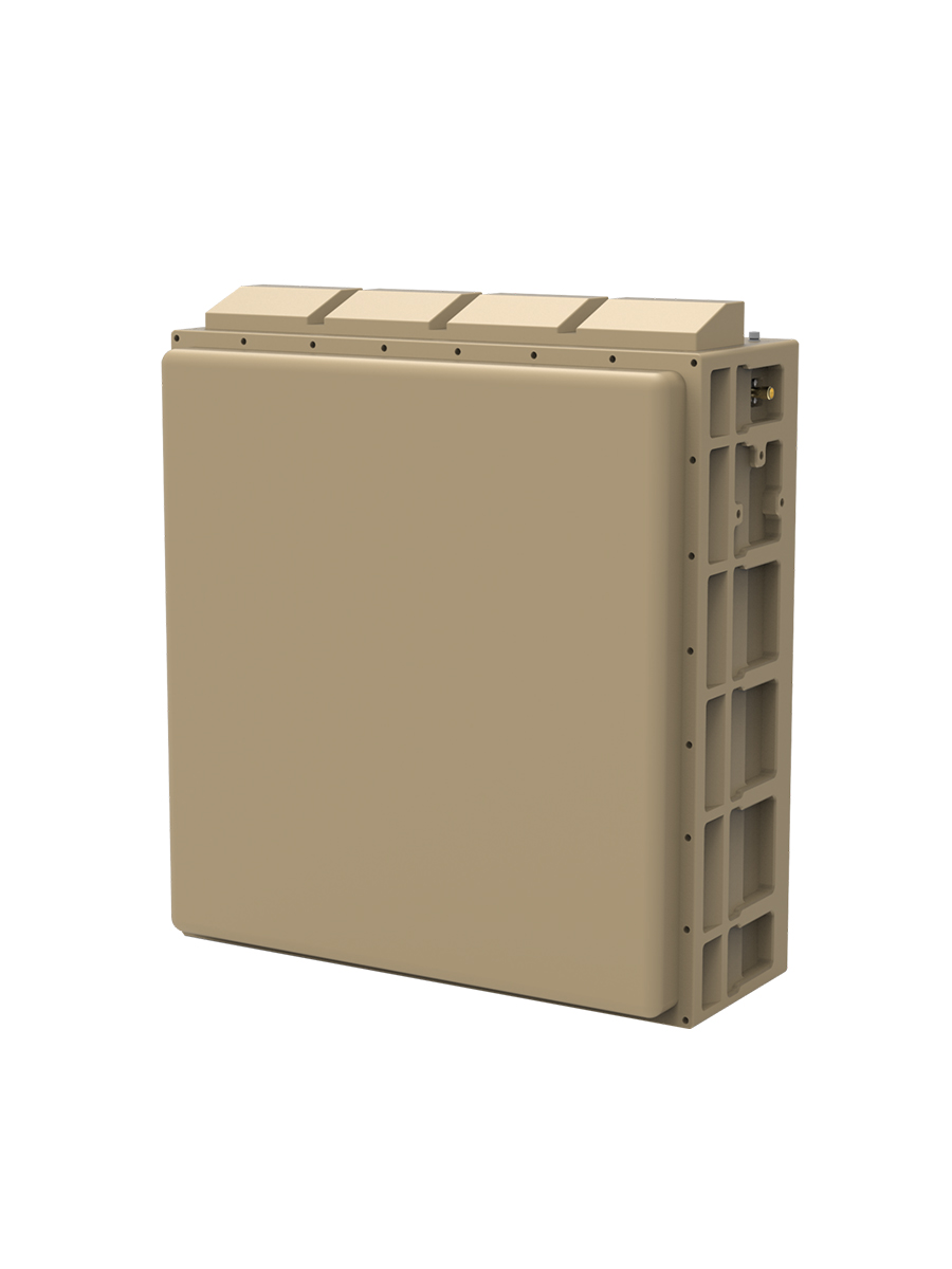
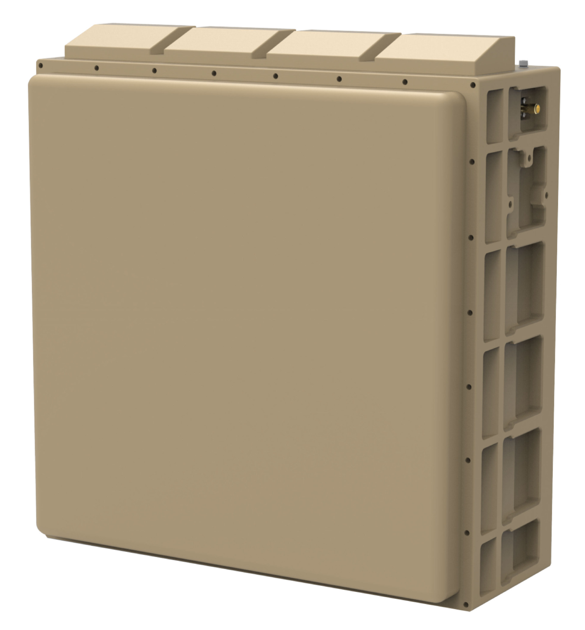
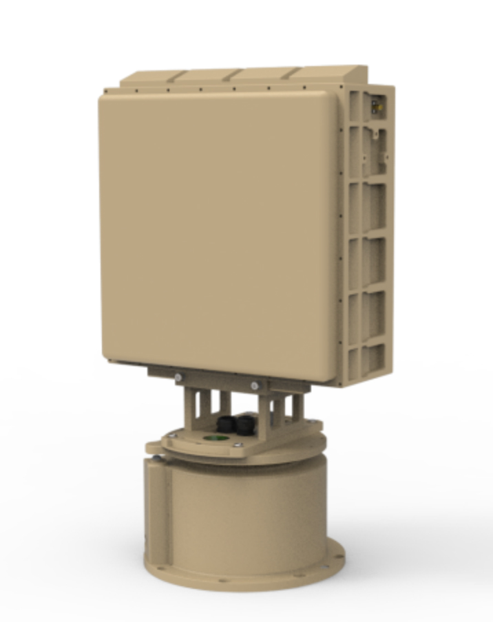
ES - RD04 low Altitude 3D AI Drone Tracker rader
ES-RD04 low altitude Detection AI DroneTracker is Ku-band phased array radar, which based on the all-solid-state, fully coherent, pulse Doppler system,using machine learning technology to achieve clutter suppression in complex scenes. The radar can detect and track "low, small and slow" targets all weather and adopts azimuth Sweep scan and Elevation phase scan to provide a high target update rate.
Technical parameters
Performance | Indicators |
Frequency | Ku-band |
Detection | ≥5 km (RCS: 0.01 m²) |
Blind Zone | ≤200m |
Field of View | Azimuth: 0°~360°, Elevation: 0°~30° (Elevation can be configured) |
Tracking | Tracking function |
Speed | 1m/s~100m/s |
Scan Mode | Azimuth: Sweep scan, Elevation: phase scan |
Accuracy | Distance: <10m, azimuth: <0.5°, Elevation: <0.5° |
Update Rate | ≤3.5s |
Weight | ≤40kg |
Power | AC220V/28VDC |
Operating Power | ≤500W |
Size | ≤530mm*590mm*250mm |
Operating Temp | - 40℃~+55℃ |
ES - RD05 low Altitude 3D AI Drone Tracker rader
|
|
|
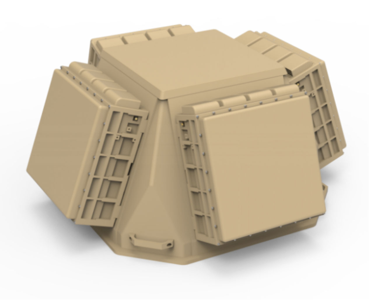
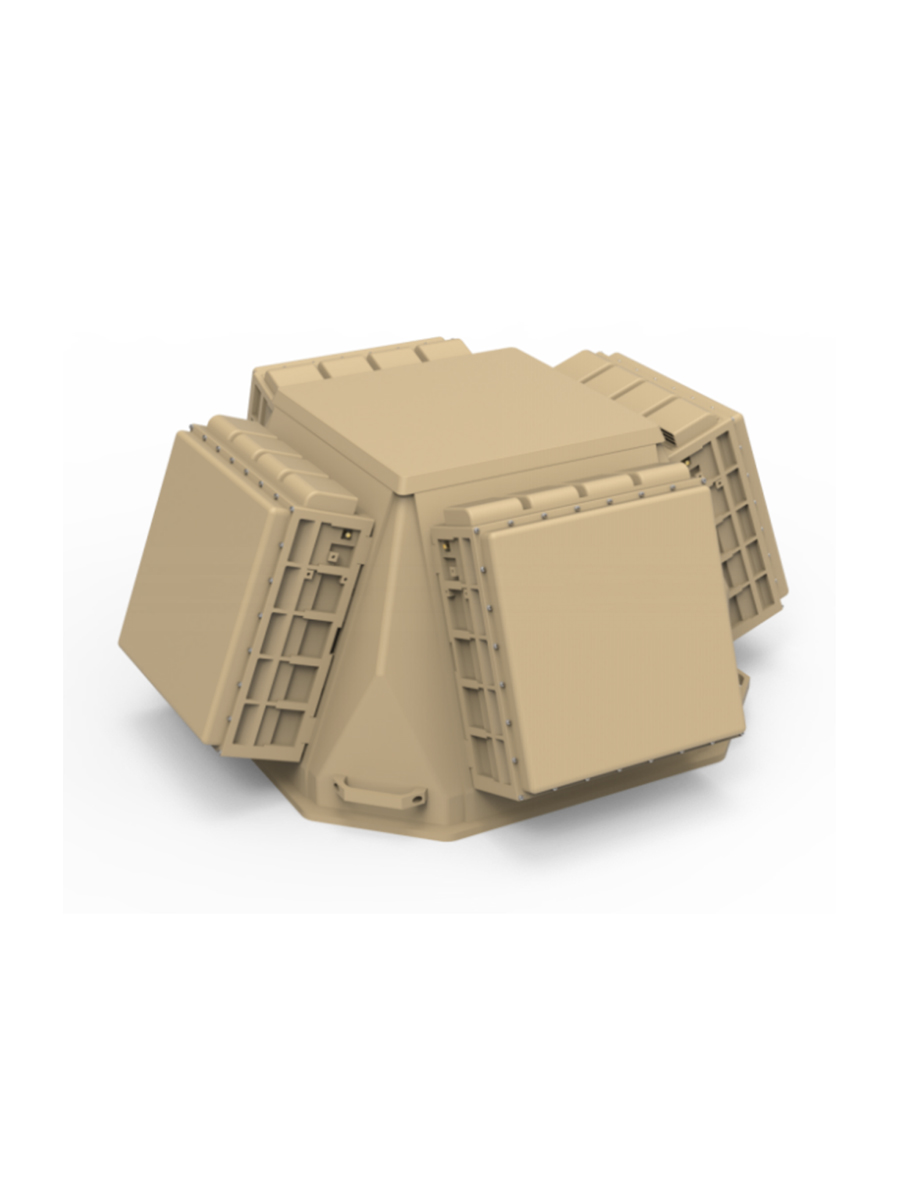
ES - RD05 low Altitude 3D AI Drone Tracker rader
ES-RD05 series of low-altitude Detection AI radar is Ku-band phased array radar, which based on all-solid-state, fully coherent, pulse Doppler system, using the machine learning and AI intelligent recognition technology to detect, track and identify "low, small and slow" targets with all weather.The radar adopts a two-dimensional phase scan technology to meet the requirements of 3 application scenarios.
Technical parameters
Type | ES-RD05A | ES-RD05B | ES-RD05C (Four-sided array) |
Frequency | Ku-band | ||
Detection | ≥5Km (RCS: 0.01㎡) | ||
Blind Zone | ≤200m | ||
Field of View | Azimuth: 360°, Elevation: 0~30° (Elevation can be configured) | ||
Tracking | TAS function | Tracking function/TAS | TAS function |
TAS Number | TAS: ≥6 | ||
Speed | 1m/s~100m/s | ||
Accuracy | Distance: <10m, Azimuth:<0.4°, Elevation: <0.5° | ||
Update Rate | Search: ≤3.5s,TAS: ≤0.5s | Search: ≤4s,TAS: ≤0.5s | Search: ≤3.5s,TAS: ≤0.5s |
Weight | ≤14Kg | ≤30Kg | ≤100Kg |
Power | DC24V/220VAC | ||
Operating Power | ≤400W | ≤450W | ≤1600W |
Size | ≤335mm*315mm*133mm | ≤586mm*316mm*240mm | ≤860mm*860mm*420mm |
Operating Temp | -40℃~+60℃ | -40℃~+60℃ | -40℃~+60℃ |
